


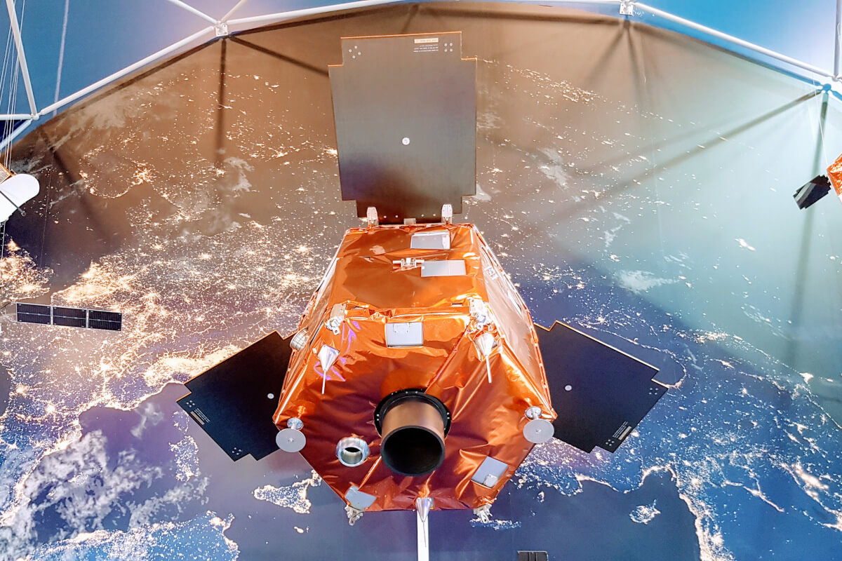
Türkiye's high-resolution domestic reconnaissance satellite, GÖKTÜRK 2, has completed its first year in orbit. The satellite, which has orbited the Earth 5,000 times, has taken 2,400 images in one year.
Weighing approximately 400 kg, GÖKTÜRK 2 can capture images with a resolution of 2.5 meters from any point on Earth. It also possesses high maneuverability, offering stereo imaging capabilities that can be used to create 3D maps of the Earth's surface when needed. The satellite utilizes a domestically developed flight computer and software by TÜBİTAK UZAY. GÖKTÜRK 2 also boasts high-speed data communication capabilities, allowing it to download images of a 600 km strip stretching from Türkiye's northern to southern coasts in a single pass. GÖKTÜRK 2 is not subject to any international restrictions regarding image acquisition and download to ground stations.
Note
If you have any photos or video footage to support our news story, please share them with us using the information provided on our contact us page.
