


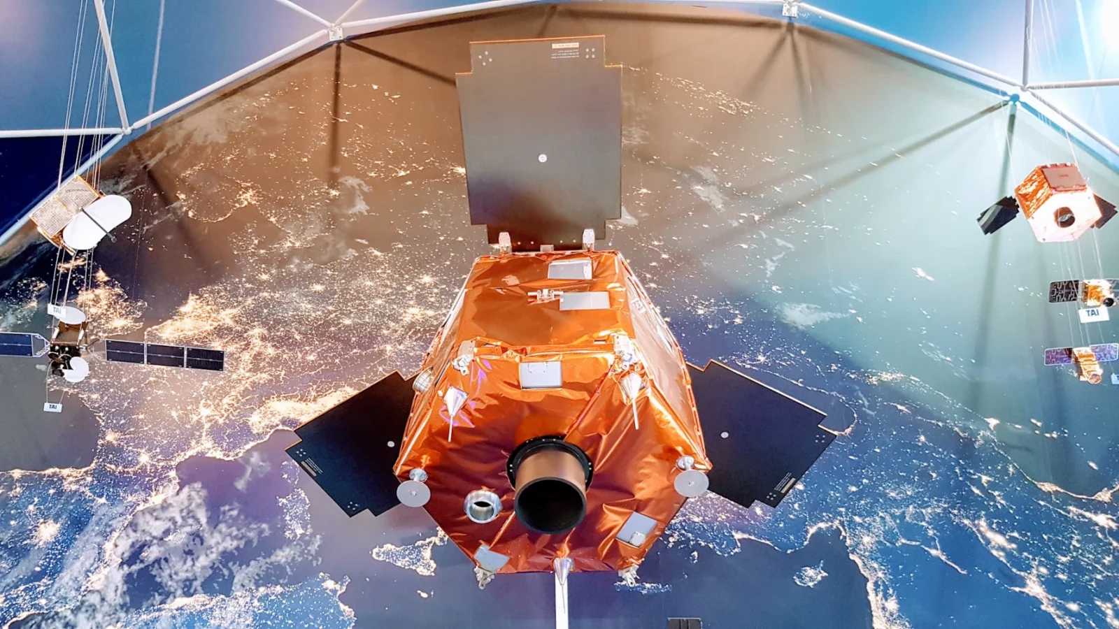
GÖKTÜRK-2, Türkiye's first high-resolution national reconnaissance satellite, has been successfully continuing its mission for 11 years.
The satellite, produced through the dedicated efforts of Turkish engineers and technicians, is celebrating its 11th anniversary today, despite having a design lifespan of 5 years.
GÖKTÜRK-2, with its 2.5-meter resolution camera and high domestic production rate, continues its mission in its sun-synchronous orbit at an altitude of 685 kilometers. All engineering activities in the design, production, and testing processes of the GÖKTÜRK-2 system were carried out domestically. Produced under the leadership of TÜBİTAK Space Technologies Research Institute in cooperation with Turkish Aerospace Industries (TUSAŞ), GÖKTÜRK-2 has been meeting important needs in the fields of defense, environment, urban planning, agriculture, and forestry since its launch, providing satellite imagery to public institutions and organizations in the areas of disaster monitoring, urban planning, agricultural area monitoring, forest fires, and intelligence.
The experience gained from GÖKTÜRK-2 has enabled significant steps to be taken to reduce our country's dependence on foreign countries. While the İMECE satellite, which began its mission last April, continues to provide service with its sub-meter resolution camera, the final tests for TÜRKSAT 6A, which will be our country's first national communications satellite, are successfully underway for its imminent launch.
Türkiye's success in space is increasing day by day. GÖKTÜRK-2 has gone down in history as a source of national pride, symbolizing Türkiye's independence and power in space.
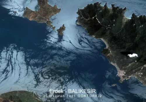
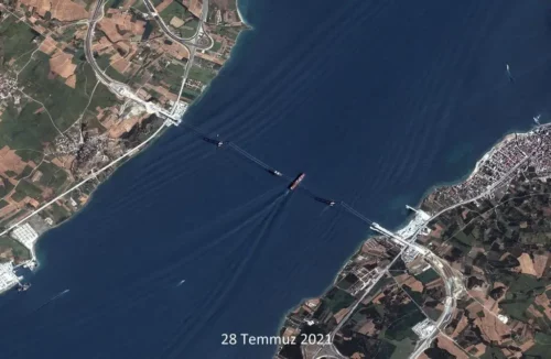
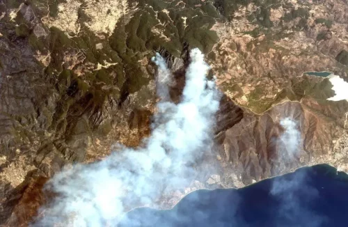
Features of the National Military Reconnaissance and Surveillance Satellite GÖKTÜRK-2
GÖKTÜRK-2 is Türkiye's first high-resolution national reconnaissance satellite. It was launched from China on December 18, 2012.
Placed in a sun-synchronous orbit approximately 685 kilometers above the Earth's surface, GÖKTÜRK-2 completes one orbit around the Earth in approximately 98 minutes.
The GÖKTÜRK-2 satellite, which has a high level of reliability according to international standards, has been continuously sending images from all over the world to the Air Force Command's Ahlatlıbel Ground Station since it was launched into space in 2012.
Some features of the satellite are as follows:
- Weight: 409 kg
- Orbital altitude: 686 km
- Image resolution: 2.5 m (black and white), 5 m (colourful)
- Image area: 20 km x 20 km
- Image storage capacity: 45 squares
- Image download speed: 100 Mbit/s
- Design lifespan: 5 years
GÖKTÜRK-2 provides valuable satellite imagery for the needs of the Turkish Armed Forces and other public institutions. It also offers stereo imaging capabilities that can be used to create 3D maps of the Earth's surface.
Note
If you have any photos or video footage to support our news story, please share them with us using the information provided on our contact us page.
