The first images taken by RASAT, a remote sensing satellite designed and manufactured by TÜBİTAK Space Technologies Research Institute (TÜBİTAK UZAY) with support from the State Planning Organization (DPT), have been successfully downloaded from the ground station located in the Institute's building on the Middle East Technical University (ODTÜ) campus.
RASAT was launched into space from Russia on August 17, 2011. Completing one orbit around the Earth in approximately 98 minutes, RASAT had completed 900 orbits as of October 17.
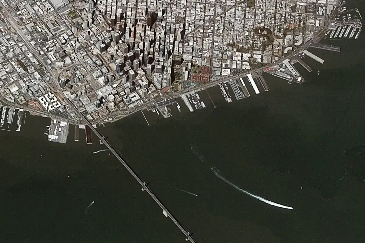
RASAT, weighing 93 kg and capable of black and white imaging at a resolution of 7.5 meters and multi-band (color) imaging at a resolution of 15 meters, can acquire images from anywhere in the world without any restrictions. The satellite images obtained from RASAT are planned to be used for purposes such as urban and regional planning, forestry, agriculture, disaster management, and more.
The systems engineering and design of the RASAT satellite were carried out in Türkiye by Turkish engineers and technicians working at TÜBİTAK UZAY, without any consultancy or engineering support from abroad, and all tests were performed in Türkiye.
Note
If you have any photos or video footage to support our news story, please share them with us using the information provided on our contact us page.