


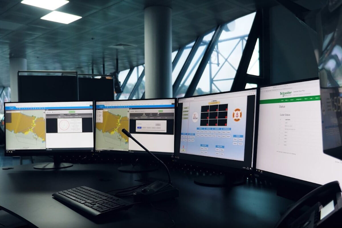
Within the scope of the project carried out by the General Directorate of Coastal Safety under the Ministry of Transport and Infrastructure, ship traffic in the Turkish Straits will be managed with a domestic system developed by HAVELSAN as the main contractor.
In the project, which is planned to be commissioned at the end of this year, the software, sensors and IT infrastructure of the Turkish Straits Vessel Traffic Services (TBGTH) system were designed taking into account the national competencies and production capabilities of our country.
In the project, which is being carried out under the main contracting of HAVELSAN, the Ship Traffic Service (STS) Software was developed domestically by HAVELSAN engineers. HAVELSAN will also maximize the rate of domestic production by integrating radar, electro-optical camera and radar direction finder systems produced by ASELSAN.
With the Turkish Straits Ship Traffic Services System, interaction with ships will be kept at the highest level, and it will be possible to monitor, regulate, organize, and manage all ship traffic movements in the Straits with a national system.
The Turkish Straits Ship Traffic Services System is one of the largest systems of its kind in the world, compared to other similar systems.
When examining nearly 500 ship traffic service systems in approximately 50 different countries, the Turkish Straits Ship Traffic Services System stands out as one of the largest in terms of service area length and number of sensors (radar, CCTV, etc.), comprising 2 Ship Traffic Services Centers and 26 Traffic Surveillance Stations (including lighthouses, buoys, etc.).
The Turkish Straits Vessel Traffic Services System will soon demonstrate its positive impact on navigation safety in the Turkish Straits through its efficiency and success. The effectiveness and coordination of services, and the success of the Turkish Straits Vessel Traffic Services System in achieving its main objectives of navigation, life, property, and environmental safety, will be felt in the near future.
With its customizable algorithms, national radar, electro-optical camera and radio direction-finding systems, and full compatibility and interoperability with national systems, the Turkish Straits Vessel Traffic Services (TBGTH) will enable the General Directorate of Coastal Safety to provide the highest quality service in our seas with a national system.
According to the General Directorate of Coastal Safety, the Istanbul Strait, with its geographical structure, narrowness, strong currents, sharp turns, variable climatic conditions, and the passage of approximately 140 non-stop vessels, approximately 25 vessels carrying dangerous cargo, and 2 million people daily, along with 2,500 regional maritime traffic movements, is one of the world's most important natural and narrow waterways.
The Turkish Straits, through which approximately 50,000 ships pass annually, are under the sovereignty of the Republic of Turkey and consist of the 37-mile-long Dardanelles Strait, the 110-mile-long Sea of Marmara, and the 17-mile-long Bosphorus Strait.
This waterway, with a total length of 164 nautical miles between the Black Sea and the Aegean Sea, has no alternative and is of great importance to the economies of all countries, especially those bordering the Black Sea.
HAVELSAN is counting down the days to contribute to digital maritime affairs with its products and studies in HAVELSAN VTS (GTH Software), data communication infrastructures, cybersecurity, autonomous ships and autonomous port management, system integration, process and regulatory optimization.
Note
If you have any photos or video footage to support our news story, please share them with us using the information provided on our contact us page.
